Ready for a challenge? At 1,797 meters, Helagsfjället is Sweden's tallest mountain south of the Arctic Circle. Enjoy grand views, wildflowers, Sweden's southernmost glacier and bright fall colors. Camp out, or stay overnight in a cabin.
Description of the Route
From Ramundberget head north. At the campsite, take the bridge over Ljusnan River. Then go west on the trail called "Slänggungan."
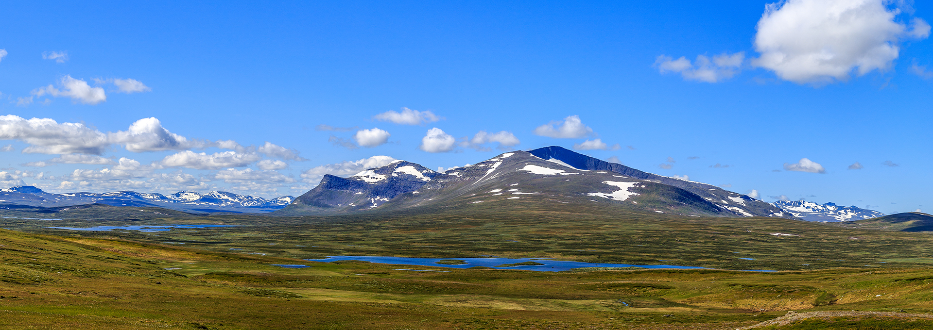
At the treeline, the path forks. Follow the marked path on the left, with Mittåkläppen on your right and Skarsfjället to the west. Don't miss the beautiful peak of Ljusnestöten, right at the end of the valley. This is also where you'll find the spring of Ljusnan River.
After about 7 km, by the Svaletjakke wind shelter, you'll join the trail that runs from Fjällnäs via Klinken. After another kilometer or so, you will reach the mountain ridge with wonderful views of the Mittån Valley against a backdrop of Helags and Sylarna. Follow the path to STF Fältjägarstugan, "Field Hunter Cabin," run by the Swedish Tourist Association. You are now 15 km from Ramundberget, and many people choose to spend the night here.
The last part of the hike runs over Helagsfjället's eastern ridge towards the Helags Mountain Station. To the west you can enjoy the characteristic silhouette of Predikstolen ("The Pulpit"), and once over the ridge you'll be rewarded with spectacular views of Härjångsfjällen and Dunsjöfjällen mountains.
Length: 28 km to Helags Mountain Station, 56 km round trip.
Duration: Around 9 hours one-way to Helags Mountain Station. Two medium-sized day trips, or one very long day hike.
A Trip to the Top
If you fancy an extra challenge with added Alpine feel, you can make yet another hike to Helagsfjället Summit from the Mountain Station. An exciting outing with opportunities for the whole family to challenge themselves according to level, it offers grand views and unique mountain nature.
Starting from the Mountain Station, follow the trail towards Sylarna. After about 500 m it splits, with one path clearly leading towards the top. Continue into the "bowl" of the mountain towards the glacier, before following the path onto the south ridge. The path on Helagsfjället's south ridge is marked with red paint. You can take the same path back down, or make it a round trip by following the north ridge all the way around. However, please note the north ridge is unmarked, and more technically challenging!
Within the mountain bowl, you can also check out Sweden's southernmost glacier and go on fun side expeditions to the magically blue glacier lakes. A perfectly good alternative for those who feel like a shorter day trip!
Length: 8 km round trip
Duration: 8 hours round trip